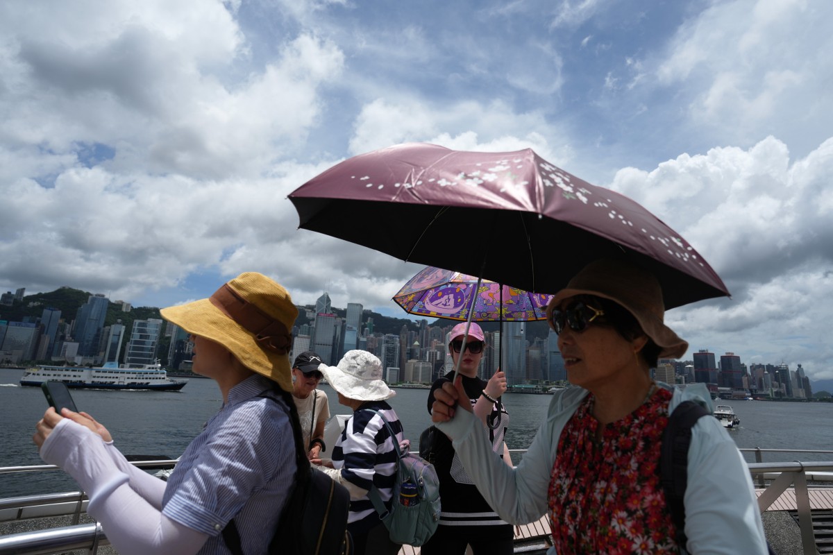
 Hong Kong’s weather forecaster says temperatures will soar to 35 degrees Celsius in anticipation of a severe typhoon. Photo: Sam Tsang
Hong Kong is set to swelter under high temperatures that are expected to reach 35 degrees Celsius (95 Fahrenheit) on Wednesday afternoon due to the influence of Severe Typhoon Gaemi, with authorities warning a No 1 standby signal may be issued later.
The Hong Kong Observatory predicted that Gaemi would move across the central and northern parts of Taiwan between Wednesday night and Thursday morning.
“Our region is now affected by its subsiding air,” Yeung Kwok-chung, a senior scientific officer at the Observatory, told a radio programme.
“[The weather] will be extremely hot in the afternoon, with the maximum temperature reaching 35 degrees.”
Yeung said the hot weather would continue on Thursday under the influence of Gaemi, which means ant in Korean. Maximum temperatures would be hovering at about 34 degrees and could go even higher in the New Territories.
Nine phrases related to overcast weather that will enrich your English writing
The Centre for Health Protection called on the public to drink plenty of water and wear loose and light-coloured clothing to prevent heatstroke.
Weather authorities forecast Gaemi would make a landfall in Fujian on Thursday, with two routes expected.
Most computer forecasts and artificial intelligence weather models expected Gaemi would take a more northerly route and cross the eastern part of China, and that it would maintain a certain distance from Hong Kong.
But some other computer forecast models also said the severe typhoon would move more westward before turning northbound, adding its circulation could be closer to the Pearl River Estuary area.
“If the second scenario happens and [the severe typhoon] comes closer to us, we will need to evaluate whether there is a need to issue No 1 standby signal,” Yeung said.
Strong winds are expected to hit the city on Thursday and Friday, with showers and squally thunderstorms over the weekend.
