Advertisement
Hong Kong areas still reeling from last big storm and record rainfall brace for Typhoon Koinu
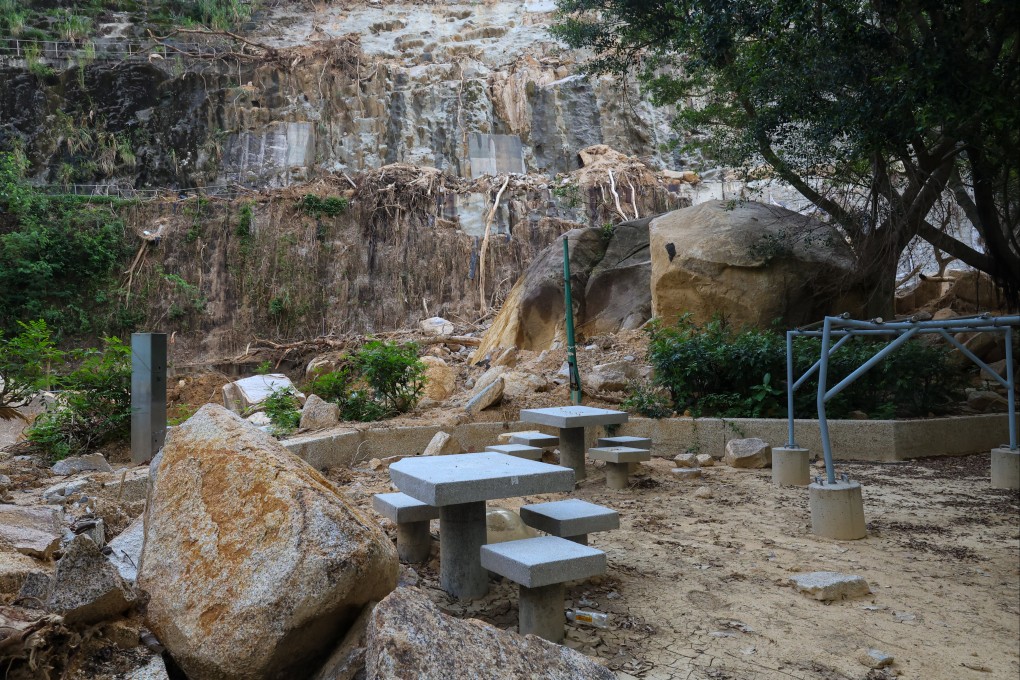
- Shau Kei Wan and Shek O, still clearing up after Super Typhoon Saola and later record rainstorm, fear further damage as Koinu nears
- Koinu expected to be within 400km of Hong Kong by Friday, the Observatory warns
Reading Time:3 minutes
Why you can trust SCMP
5

Two areas of Hong Kong still reeling from damage caused by last month’s “once-in-500-years” rainstorm are bracing themselves for Typhoon Koinu’s approach later this week.
Shau Kei Wan and Shek O were still repairing damage after the deluge caused landslides and road subsidence as Koinu approached the city on Tuesday.
The typhoon, named after the Japanese name for the constellation of Canis Minor, is forecast to close in on Hong Kong and come within 400km (248.5 miles) of the city by Friday, the Observatory said on Tuesday.
The weather forecaster said it planned to issue a No 1 warning signal on Wednesday night.
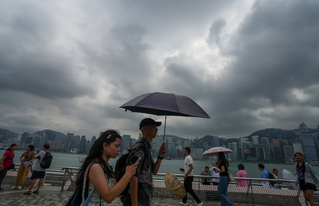
“If Koinu weakens slowly and comes closer to the vicinity of the Pearl River Estuary, it will be rather windy with squally showers over the region on Friday and over the weekend,” the Observatory predicted.

Hong Kong was hit by Super Typhoon Saola at the start of last month, but emerged relatively unscathed because authorities had pulled out all the stops in preparation.
Advertisement