Advertisement
Why Typhoon Mawar is causing Hong Kong’s soaring temperatures, intense pollution without making direct hit
- City’s weather forecaster records year-high temperature of 34.7 degrees Celsius at Tsim Sha Tsui station on Wednesday
- Meteorologists expect weakening typhoon, currently off east coast of Taiwan, to head north towards Japan
Reading Time:3 minutes
Why you can trust SCMP
1

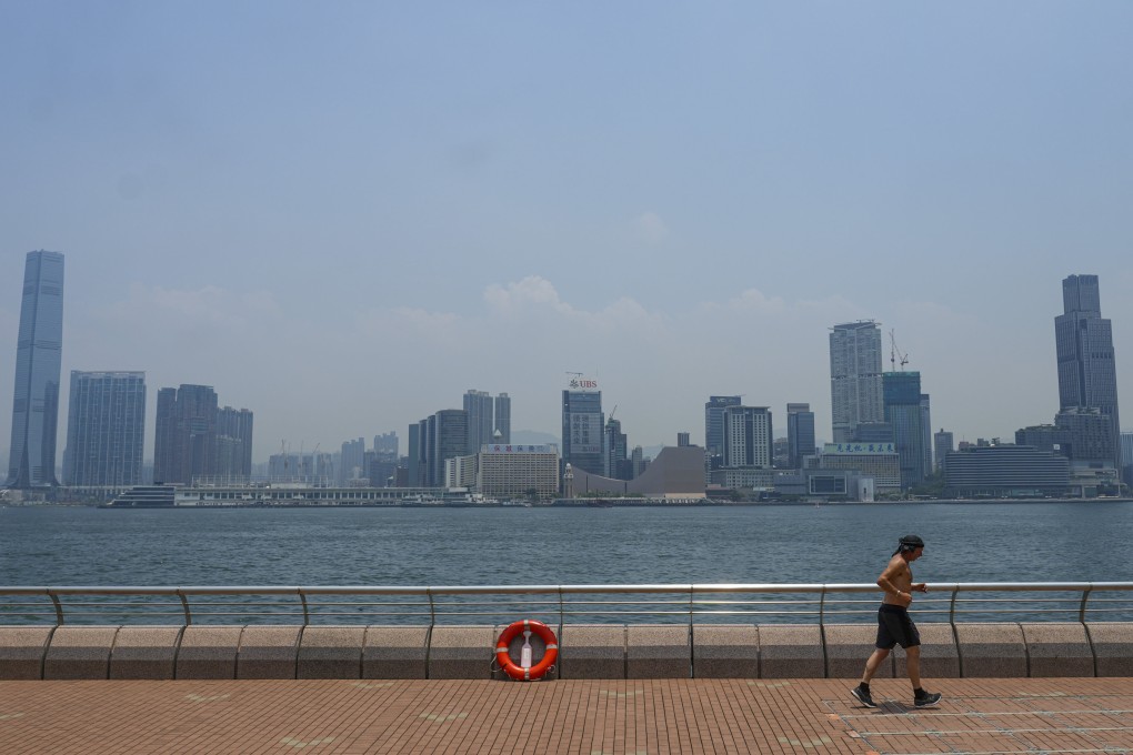
Typhoon Mawar is having a far-reaching impact on Hong Kong as it brings record-breaking temperatures for the month of May and causes serious air pollution, despite bypassing the city, according to meteorologists.
Advertisement
The Observatory on Wednesday said the typhoon was about 520km (323 miles) east of Kaohsiung in southern Taiwan at around 4pm. “The outer subsiding air of Typhoon Mawar is bringing extremely hot weather to Guangdong,” it said.
Since last Friday, the forecaster has warned residents to brace for “persistently very hot” weather brought about by the typhoon.
Temperatures soared on Wednesday, with the mercury reaching a year-high of 34.7 degrees Celsius (94.5 Fahrenheit) at the Observatory in Tsim Sha Tsui.
“Thunderstorms and heavy showers triggered by high temperatures brought more than 30mm [1.2 inches] of rainfall to North district and Tai Po,” it added.
The typhoon is currently heading north-northeast towards waters east of Taiwan. It is expected to move in the direction of Okinawa, Japan’s southernmost prefecture, and continue to weaken. It was earlier classified as a super typhoon.
Mawar, the Malaysian word for rose, has been reported as the most powerful storm worldwide so far this year. Yale University’s school of the environment said it was the strongest tropical cyclone yet to affect the northern hemisphere in the month of May.

Advertisement