Tropical storm Mawar expected to be closest to Hong Kong on Sunday afternoon
After batterings by Typhoon Hato and Severe Tropical Storm Pakhar, city on standby for more rain and wind

Tropical depression Mawar, which is threatening to bring Hong Kong its third typhoon in only two weeks, is expected to be closest to the city on Sunday afternoon when it makes landfall in Shantou, eastern Guangdong, according to weather officials.
Senior science officer Cheng Yuen-chung from the Hong Kong Observatory said the depression might intensify into a typhoon over the weekend, but whether it would trigger the signal No 8 warning depended on its strength as it edged closer to land.
If Mawar prompted the No 8 warning signal, it would be the first time a T8 was issued for five consecutive storms to hit Hong Kong since tropical cyclone records began in 1946.
At 4pm on Friday, Mawar was centred about 190km from the Dongsha Islands in the northeastern part of the South China Sea, according to the forecaster.
The Observatory would consider issuing the storm standby signal No 1 on Saturday, it said in a statement at 4.45pm. It said earlier that it was expecting to issue the signal later in the day.
“Mawar moved generally northwards today, adopting a track farther away from Hong Kong,” the Observatory said.
“Its threat to Hong Kong is relatively low in the short term.”
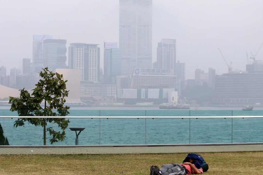
The looming storm meant Hong Kong experienced hot and hazy weather conditions on Friday afternoon, with air pollution levels likely to turn serious later in the day, according to the Environmental Protection Department.
