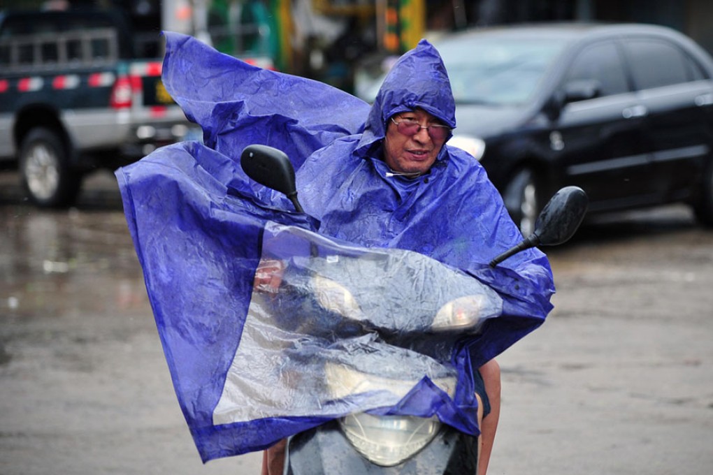
Wet weekend in Hong Kong as Rammasun moves north
Hongkongers can expect damp weekend as typhoon moves north causing chaos

Wet weather is expected to continue to affect Hong Kong over the weekend as Super Typhoon Rammasun moves further away from the city.
The Observatory downgraded the No 3 typhoon signal to the No 1 signal at 7.40pm yesterday.
At midnight, Rammasun was 500km west-southwest of Hong Kong. It made landfall over the coast of Wenchang , Hainan Island , yesterday afternoon, and is forecast to move northwest at about 22km/h towards Beibu Gulf.
More than 26,000 people on Hainan were evacuated and resorts and tour bus companies were told to suspend operations until today. Xinhua said authorities had ordered the highest level of disaster alert for the region.
The Observatory's senior scientific officer Dr Lee Tsz-cheung said rain from the fringes of the storm would continue to affect Hong Kong, and winds on high ground and in the southwestern part of the city would continue to be strong.
Kindergarten classes and schools for children with special needs were closed yesterday.
