Weekend washout likely as Rammasun approaches
No 3 strong wind warning issued, but Observatory says higher signals unlikely

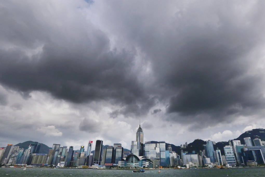
Outdoor activities seem doomed this weekend with heavy showers and strong winds brought by Typhoon Rammasun expected to hit Hong Kong today and last until Monday.

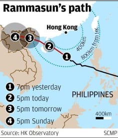
But the Observatory said higher storm signals were unlikely, despite Rammasun intensifying slightly and edging closer to the South China coast last night.
At midnight, Rammasun was estimated to be 480km south of the city, moving northwest at about 22km/h towards western Guangdong and Hainan Island.
Strong east to southeasterly winds, occasionally reaching gale force, were recorded offshore and on high ground last night and were forecast to continue today. Sea swells are expected.
"People are advised not to engage in water sports and to stay away from the shoreline," Observatory senior scientific officer Dr Lee Tsz-cheung said.
Winds were predicted to moderate in the following couple of days but there would still be showers, forecasters said.
