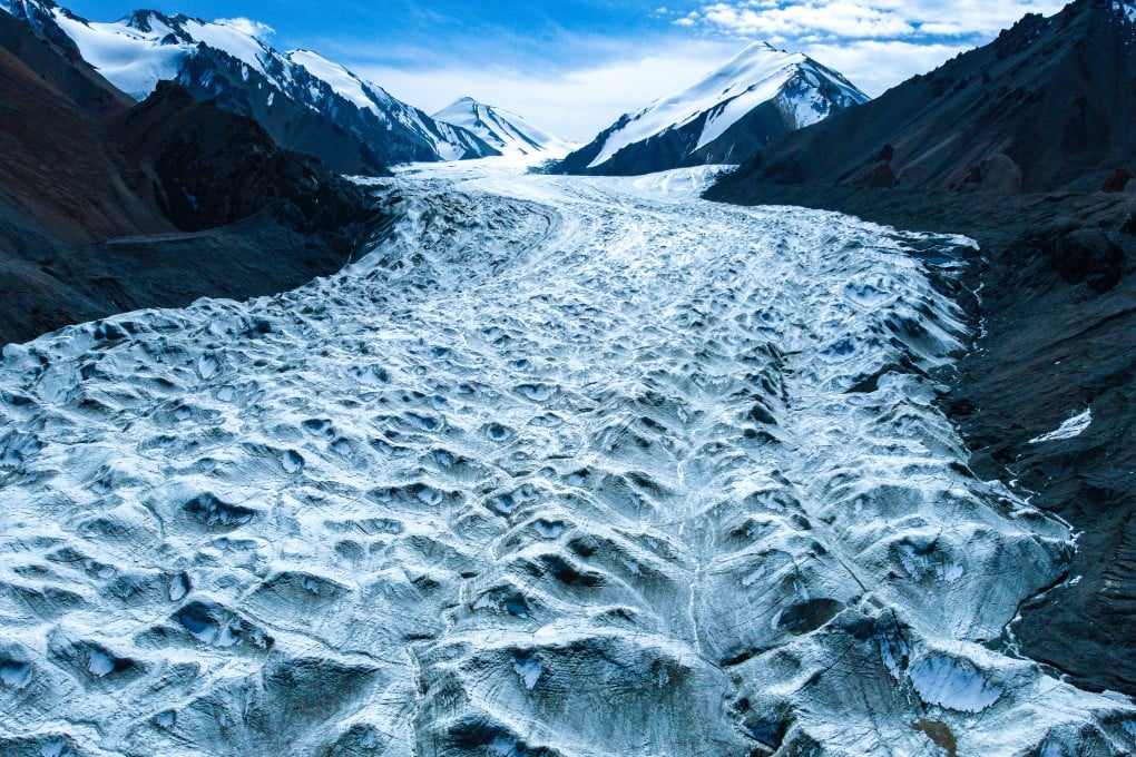
The new aerial radar penetrating the icy depths of China’s glaciers
Airborne technology is helping to map the terrain and water reserves in the Qilian Mountains

“[The project] realised the measurement of ice thickness of compound valley glaciers under complex terrain conditions for the first time,” the institute said on Friday, adding that the technology was at a world-leading level.
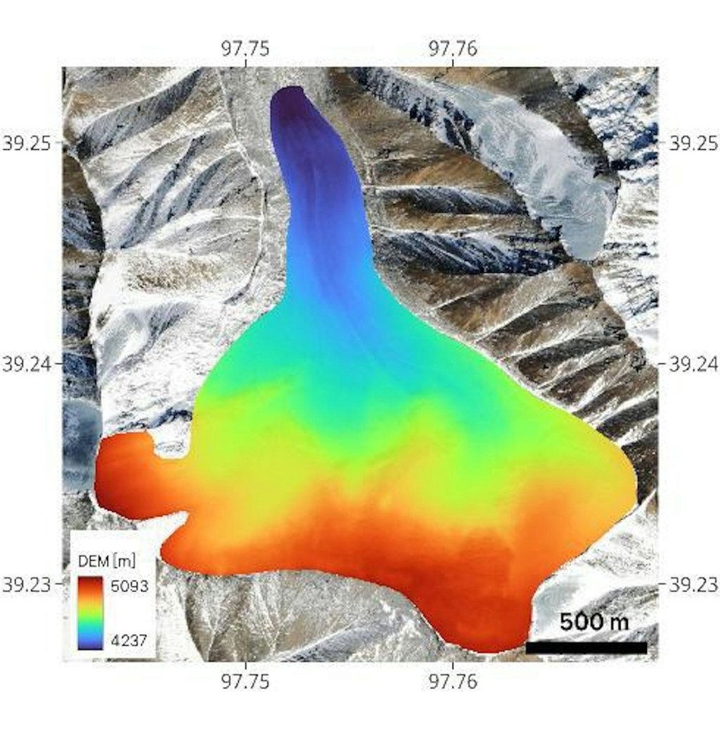
Mounted on remote-sensing aircraft, the radars emit electromagnetic waves that can penetrate thick layers of ice, including in glaciers. When the waves hit internal features like rocks, they are reflected and the echoes are analysed to generate maps of the terrain.
“Unlike traditional technologies that are mainly used to obtain glacier surface information, aerial ice radar has the ability to penetrate the glacier’s surface to obtain information about the interior and bottom of the glacier,” Zhu Jinbiao, deputy director of the institute’s Airborne Remote Sensing Centre, told state news agency Xinhua.

