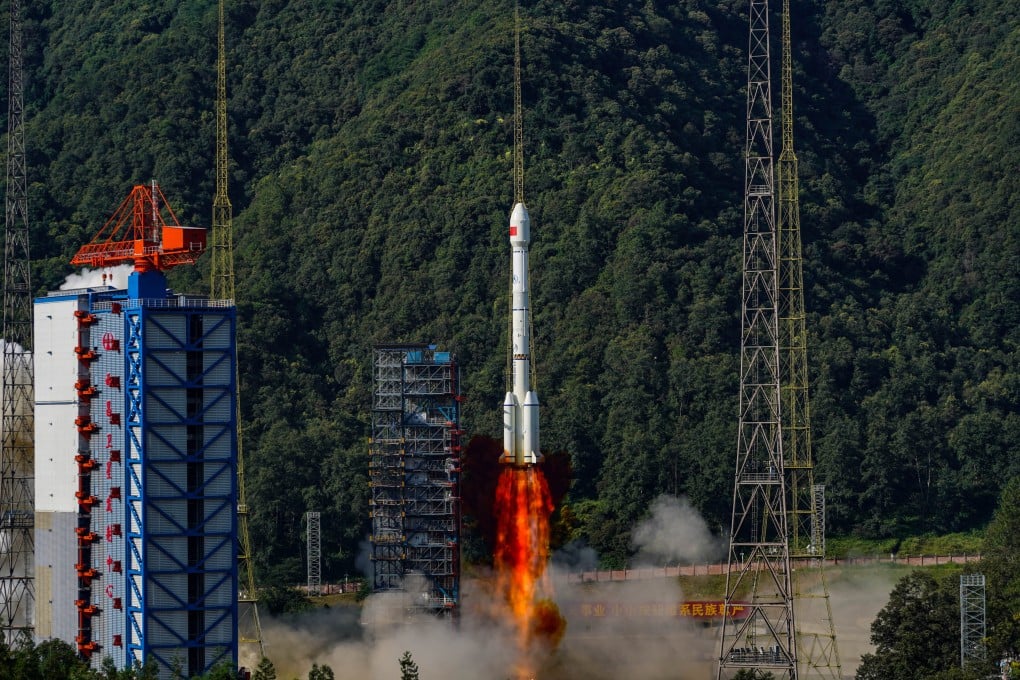
Last BeiDou-3 satellites sent into orbit to test tech for next-gen navigation system
Satellite pair launched on Thursday will allow for system to keep operating while older satellites are maintained and managed

The two satellites, built as backups by the Innovation Academy for Microsatellites under the Chinese Academy of Sciences, lifted off aboard a Long March 3B rocket from the Xichang Satellite Launch Centre at 9.14am on Thursday.
They join 30 other BeiDou-3 satellites in various orbits, including 24 in medium Earth orbits at an altitude of about 21,000km (13,050 miles), and six in geostationary and inclined geosynchronous orbits at 36,000km.
According to Liu Yingchun, chief designer of the BeiDou-3 system, most of the BeiDou-3 satellites have been operational for six years. The newly launched pair will allow for the system to keep operating while older satellites are maintained and managed.
Equipped with upgraded atomic clock parts and new inter-satellite link terminals, they will also test core technologies for the next-generation BeiDou-4 navigation satellites, Liu told state broadcaster CCTV.
Since 2000, China has launched 64 BeiDou satellites, including four that are experimental, over three phases. The BeiDou system achieved global coverage in 2020.
Today, BeiDou stands as one of the world’s leading Global Navigation Satellite Systems (GNSS), alongside the United States’ GPS, Russia’s GLONASS and the European Union’s Galileo. It provides global users with all-weather, around-the-clock, high-precision positioning, navigation and timing (PNT) services.
