Advertisement
China seeking hi-tech solutions to disaster relief challenges
- Satellite technology was used to help rescue teams when heavy flooding struck the centre of the country earlier this month
Reading Time:2 minutes
Why you can trust SCMP

China is stepping up its use of technology such as satellites and radar in disaster relief work as extreme weather events become more frequent.
Advertisement
Lessons have been learned from the rescue efforts of the devastating 2008 earthquake in Sichuan that killed more than 69,000 people and wounded more than 370,000, according to Weng Qihao, chair professor at the department of land surveying and geo-informatics of Hong Kong Polytechnic University.
At the time, satellite coverage of the area affected was patchy and many of the images that were provided were of a poor quality.
“Therefore the rescue team couldn’t know at first where the disaster areas were and which roads were still passable. China learned a big lesson from that,” Weng said.
China now has more than 900 satellites in orbit which are widely used to monitor natural disasters and help with relief and reconstruction efforts.
Advertisement
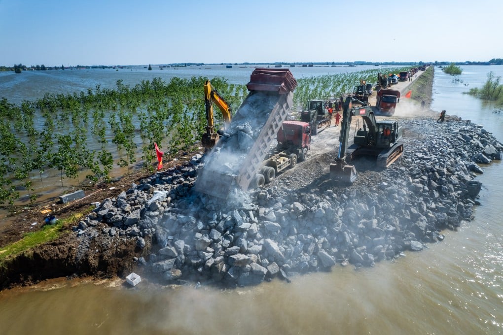
Weng cited the use of the technology when a dyke was breached in Dongting Lake during heavy rains in the central province of Hunan earlier this month.

Advertisement