Advertisement

South China Sea: Beijing submits Scarborough Shoal baseline documents to UN

Incoming US president Donald Trump’s administration may challenge declaration of straight baselines as overreach by China, say experts
Reading Time:4 minutes
Why you can trust SCMP
9
Geng Shuang, the deputy permanent representative of China to the UN, deposited coordinates and charts asserting China’s sea territory surrounding Scarborough Shoal with the UN on Monday. Photo: AFP
China has submitted a copy of the geographic coordinates and nautical charts for sea territory surrounding Scarborough Shoal with the United Nations, a move experts said followed international practice but could be challenged by the US’ incoming Trump administration.
Advertisement

On Monday, Geng Shuang, China’s deputy permanent representative to the UN, submitted the statement regarding the announced baselines to the UN, which will publish the declaration and the charts on its website, according to a statement from China’s permanent mission to the UN.

But Chinese analysts said this should not be read as the UN’s endorsement of China’s claims in the long-running South China Sea disputes involving the Philippines, Vietnam, Malaysia and Brunei.

01:49

Chinese floating barrier blocks entrance to Philippine ships at South China Sea flashpoint

Chinese floating barrier blocks entrance to Philippine ships at South China Sea flashpoint

They cautioned that Washington might deem the straight baselines claimed by China as overreach and could use freedom of navigation – a principle condemned by China as breaching sovereignty and security – to challenge Beijing’s stance.

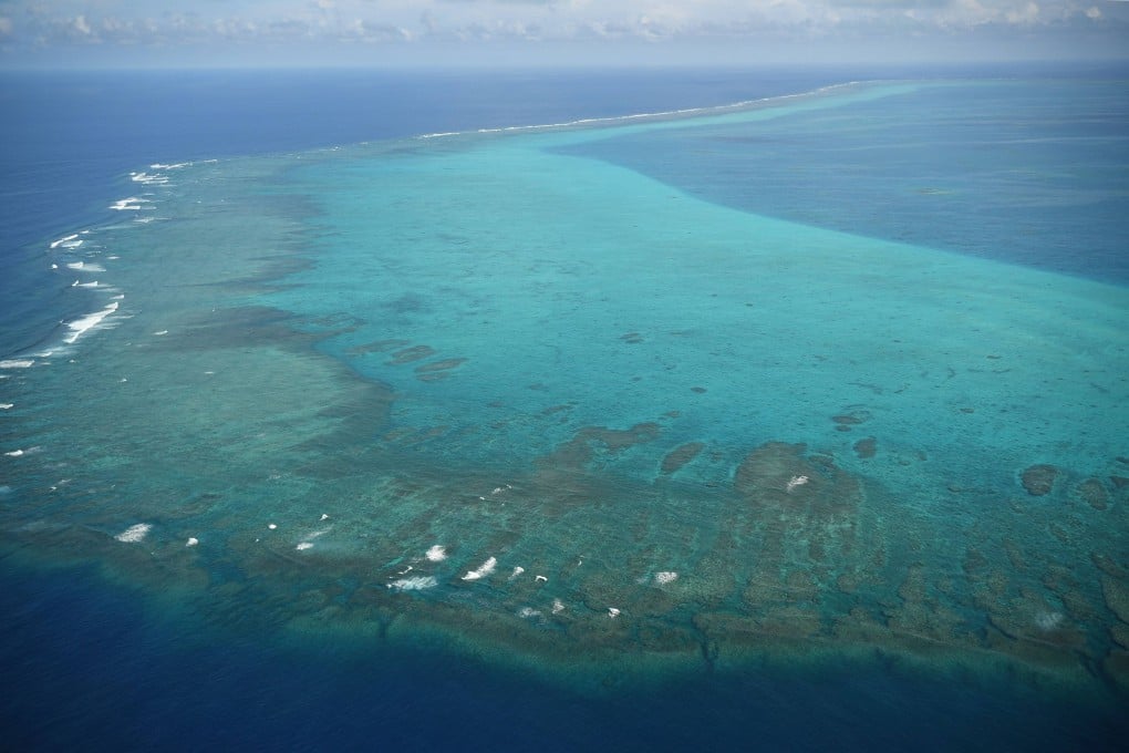
Last month, Beijing posted geographic coordinates for the baselines around the disputed Scarborough Shoal – known as Huangyan Island in China and Panatag Shoal in the Philippines – as a pre-calculated move over Manila’s enactment of new maritime laws two days earlier that aimed to strengthen and embed its own claims over the reef and other contested parts of the sea into domestic laws.

Under the UN Convention on the Law of the Sea (Unclos), the baseline serves as the starting line along the coast from which a nation measures the extent of its territorial sea, exclusive economic zones (EEZs) and other maritime zones.

Advertisement

The recent move of lodging relevant documents is a normal practice in accordance with the Unclos, which stipulates in article 16 that a coastal state should publicise the lists of geographic coordinates and submit a copy with the UN, according to experts.

Advertisement