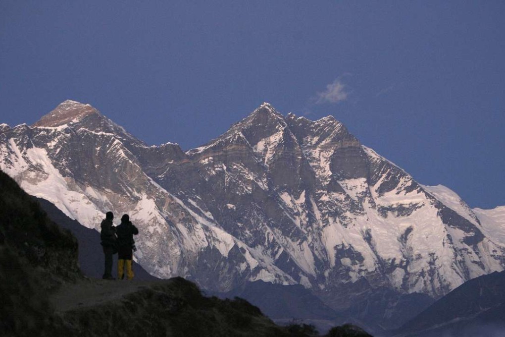
Did an earthquake shrink Mount Everest? India is going to check

According to India’s surveyor-general, a school of thought has grown that Earth’s highest peak, Mount Everest, has shrunk.
“We are sending an expedition to Mount Everest,” said the official, Swarna Subba Rao, on the sidelines of the Geospatial World Forum in the southern Indian city of Hyderabad. He told the BBC that his surveyors would work with the government of Nepal, which shares the mountain with China, to “remeasure” the hulking rock.
Smithsonian Magazine reported shortly after the quake that satellite data was used to determine that large swathes of land in Nepal had risen more than 30 feet, while others had dropped. Conflicting reports on what has happened to the exact altitude of Everest’s peak leave considerable doubt.

The last time the mountain was measured was more than six decades ago, also by the Survey of India. They found that Everest rose to 29,028 feet above sea level. It is unlikely that a new survey would find that Everest’s peak was in fact below 29,000 feet, but measuring technology has significantly improved, leaving room for discrepancies.
