Hike the ‘amazing’ trails in Penang, Malaysia – now there’s finally a map for them, hikers can better enjoy the area’s outstanding natural beauty
- Malaysia’s Penang island and wider state boast at least 30 hiking trails, which are now comprehensively mapped thanks to one avid hiker’s efforts
- But news of a new cable car for Penang Hill has not pleased local environmentalists, who want to make the island an example of sustainability

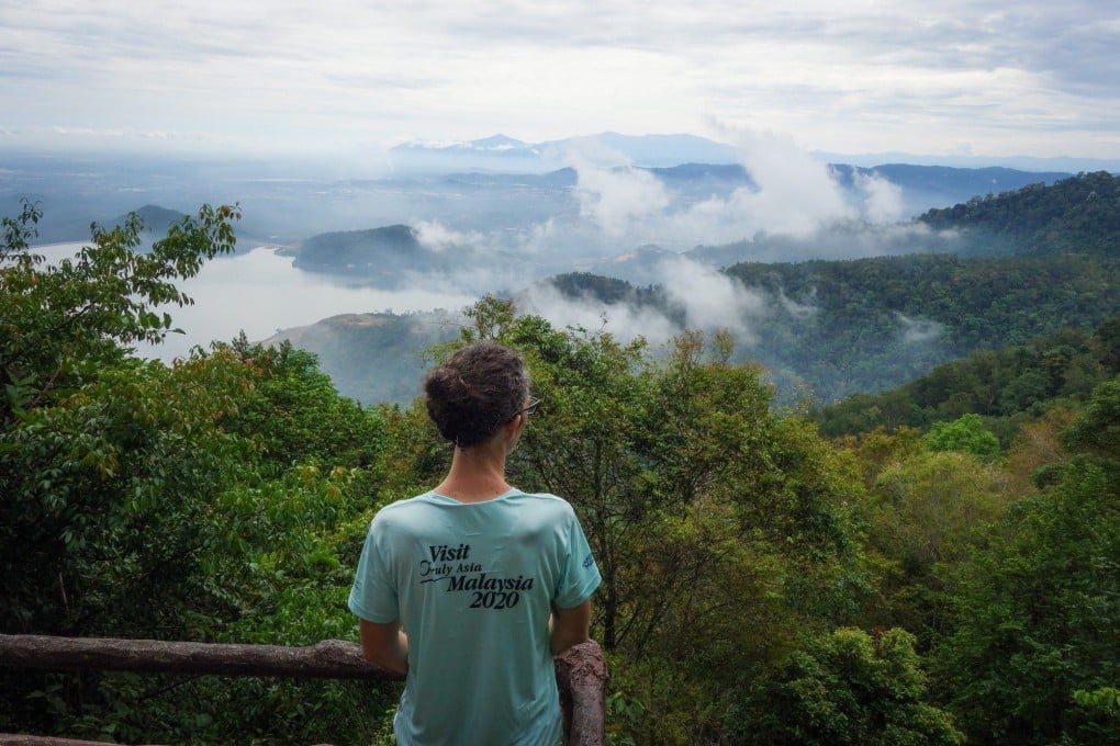
Ask visitors what they would like to do while on the Unesco-inscribed Malaysian island of Penang and it’s unlikely they’ll answer “hike”.
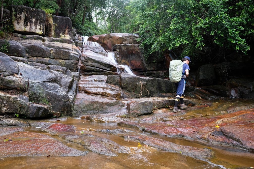
But like a compact version of Hong Kong, Penang island and a slice of Penang state on the mainland called Seberang Perai boast at least 30 hiking trails.
The best known is on the island and reaches the summit of the 833-metre-high (2,733-foot) Penang Hill, arriving at colonial Malaya’s original hill station, founded by the British in 1788 to escape the heat.
Others criss-cross three areas.

Some traverse the nine hills connecting the Bukit Hijau massif to Bukit Jambul, in the centre of the island.
Some cross the two Teluk Tempoyak ridges, strewn with World War II bunkers and overlooking the island’s southeast coast.
