Collector’s 400 years of China maps and nautical charts up for sale – there’s not a nine-dash line to be seen
- Pearl River Delta depth charts, Macau street maps from Lord Macartney’s embassy to post-war era, the first map showing Singapore – collection has it all
- For Robert Nield, past president of the Royal Asiatic Society Hong Kong, the sale, brought on by he and his wife moving to a smaller flat, is bittersweet

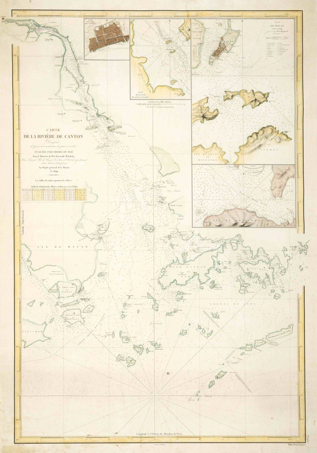
The French chart follows the Pearl River estuary to the city of Canton.
Printed in 1844 as an aid to ship navigation, it’s a chart made for practicality, not aesthetics – to be rolled out on a ship bridge, pored over, a forefinger tracking a route, used in tandem with a sextant – and the basis for a quick discussion with the captain and instructions given to the crew.
At the time it was made the British colony of Hong Kong was just three years old.
There’s a city plan of Canton (now Guangzhou) at the top, also one of Macau, by then a Portuguese enclave for 300 years. Up and down the line of the coast numerous numbers have been painstakingly added. These are depths in fathoms (one fathom is 1.8 metres or 6ft), measured since the early days of seafaring by a plumb line – a rope with a lump of lead on the end that was dangled over the side of a survey ship to calculate the depth of the sea at key points for vessels tracking along the coast.

Long before satellites and aerial photography, sailing ships would tack back and forth measuring depths, their crews’ accurate but painstaking work – which sometimes took months – providing an indication of where shifting sands lay.
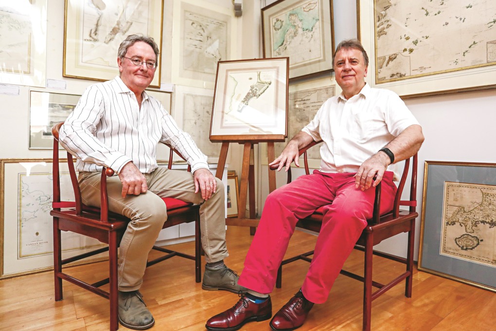
This has always held a fascination for Robert Nield, a past president of the Royal Asiatic Society Hong Kong and the author of two books on China’s former treaty ports. Nield spent 37 years putting together a collection of more than 50 maps and charts of Hong Kong, Macau and the surrounding region, many of which are now on sale and feature in an exhibition at Wattis Fine Art in Hong Kong’s Hollywood Road.