Couple who’ll walk, climb and swim around Hong Kong Island to create the city’s first map of coastal pollution
Scrambling and swimming, Paul Niel and Esther Röling will make a complete circuit of the Hong Kong Island shore, taking water samples as they go to map water quality and biodiversity

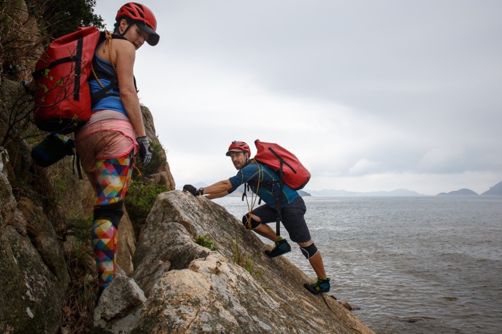
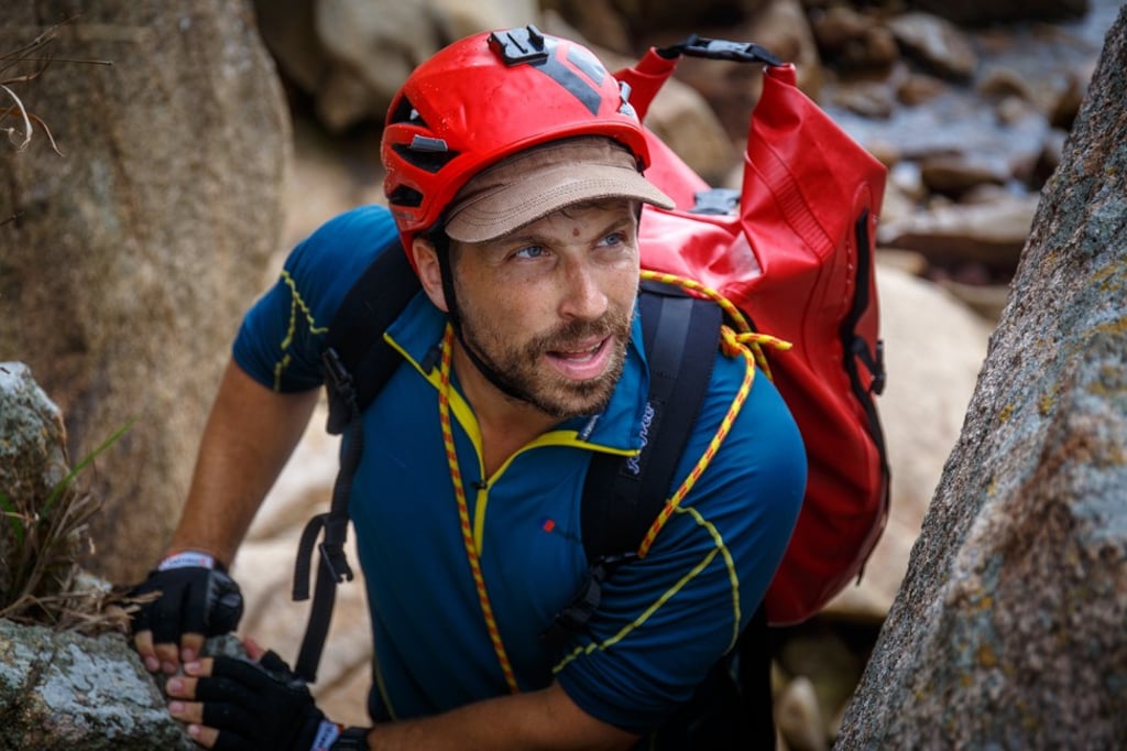
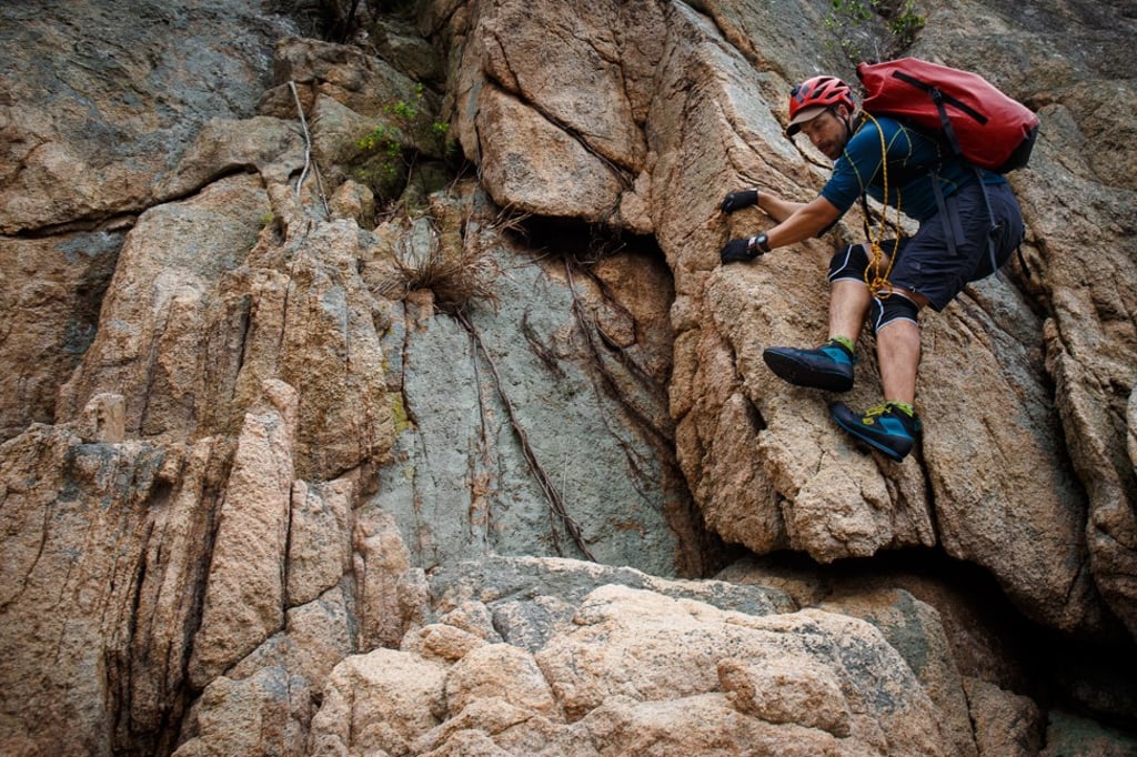
Curious lifeguards and fishermen watch as Paul Niel and Esther Röling leap from rock to rock around the cliffs at Chung Hom Kok beach. They are “coasteering”, and on their last reconnaissance mission before embarking on the “Round The Island – Hong Kong” expedition later this month. Their goal? To climb, scramble and swim their way around the entire island, taking water measurements as they go, to create Hong Kong’s first full coastal pollution map.
A team from the Open University is lending them a portable measuring device to map water quality and microbiodiversity, which will enable researchers to determine the effect of pollution on algae and plankton.
The couple have been on several overseas climbing expeditions, but when their daughter was born 15 months ago, they began looking for adventures closer to home.

“I found my wife Esther here in Hong Kong and we started our family here, so it’s a place that I associate very closely with,” says Niel, an Austrian mountaineer and adventurer who has climbed the highest peaks on every continent. “I always wanted to do something here, and this will be our first proper expedition project together.”
Röling, a chef and food consultant from Holland, says they’ve been shocked by the amount of rubbish and pollution since they began scouting the city’s shores last November. “It’s crazy what you see climbing around the island,” she says. “There’s so much polystyrene, plastic, tyres – even chairs and fridges.”
